Apple vs. Google: Who Will Become King of the Hill?
**This article originally appeared at iPhone Life where Adam is a featured blogger.
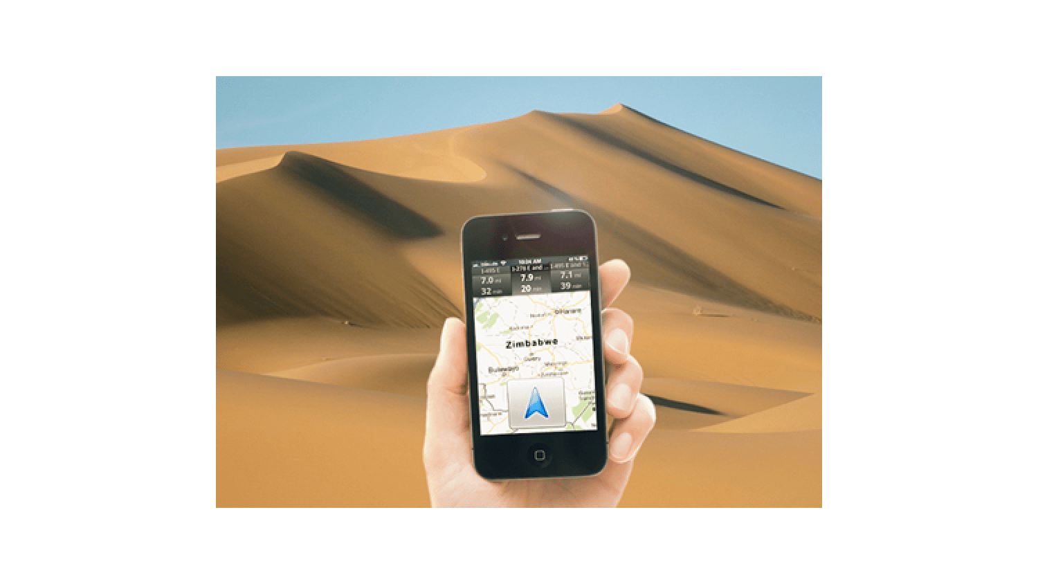
Last week Apple announced that it would be terminating its agreement to use Google Maps as the default location service for iOS. Instead, Apple is developing its own in-house application that will become standard starting this fall.
Why the change? The mobile location service arena is the new battleground front...and it's about to get messy.
Apple and Google have had an increasingly tense relationship over location data of iOS users: Google says it owns it; Apple disagrees. This point of contention seems minor until you consider that location data is the new hotness. When someone asks Siri: "Find me a Chinese restaurant nearby," that data is critical. Search results for products can be weighted according to proximity. Standalone GPS units are becoming ever more scarce: users realize smartphone capabilities converge their data into one device, and the cellular data service that smartphones rely on isn't typically available in standalones, making real-time info such as traffic impossible.
To shake off Google and step into its own, Apple has a steep hill to climb: Google has been plugging away at maps since the mid 2000s. It is estimated that Google spends somewhere between $500 million and $1billion annually on maps R+D, collecting millions of street view images, traffic data, construction rerouting information, etc. Like Apple will do today, Google used to turn to outside sources for its map information, but now pays its own hikers/cyclists/drivers/pilots/snowmobilers to collect data directly.
Google's massive database has been called a "GIS-lite," and in some cases offers an alternative to traditionally expensive GIS solutions such as ESRI and GeoServer. Part of this success is due to Google's extensive and open API structure, allowing it to be used by developers in flexible ways. Surveyors and cartographers have enjoyed the interoperability of overlaid GMaps satellite images, for example.
R+D is the bread and butter of the consumer-based maps provider: users want 100% coverage basemaps, street view to provide first-person perspective, and intelligent route generation that doesn't send them on circuitous paths. And--perhaps most importantly--they want it all to be accurate and fast. These goals don't come cheaply or easily, but Apple has a track record of taking existing technologies to the next level with their releases. Plus, it has the financial resources ($110B as of last quarter) to make it happen.
Apple hasn't provided a lot of info on what is to come. iOS users have long been frustrated by the lack of turn-by-turn voice directions Android users enjoy, and Apple has promised to change that (though turn-by-turn is only for iPad2 and 4s users--a good reason to upgrade). Real-time traffic data will also be part of the package. The Dutch company TomTom will be providing street and route information.
Solidly in their corner is a large team of developers who have vast experience building well-loved apps--an area in which iOS has always had an advantage. Apple has promised to deliver the SDK to those devs within the month. Also Yelp has climbed on board, which lends considerable clout to local search results, and tight integration with Siri (which is currently being ported to the iPad2) is a major selling point.
For dedicated GMaps users, although it won't be installed by default, it will still be available in the App Store, and both apps may be installed simultaneously for the best of both worlds. Still, the stakes are high: since most people use the default preloaded apps, and so many mobile Apple customers use maps, an inferior solution will leave a bad taste about iOS as a whole--certainly not something Apple wants as they face off with Android/Google.
As is usually the case, the real beneficiaries of this competition will be the end-users, as these two giants duke it out to be king of the topographically mapped hill.

 An agency-eye view of Marketing, Advertising, Branding, Design & Media.